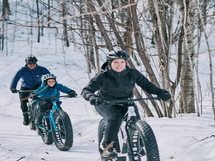
Trails we maintain
The trails below were created and are maintained by our volunteers. Some of these trails are included with your membership, others are from our partners.
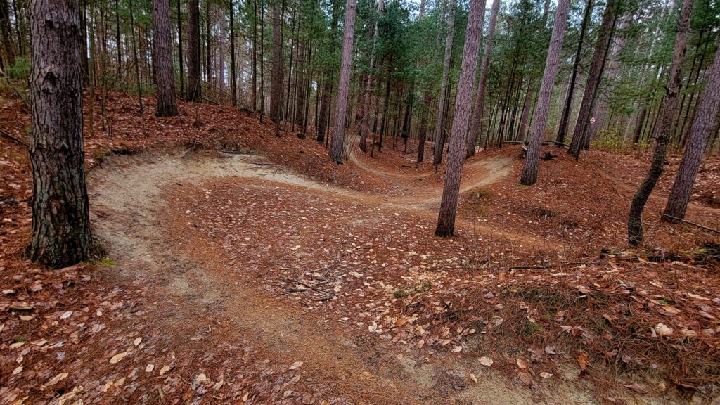
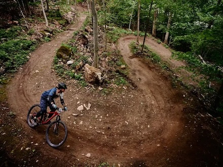
Larose Forest
Dirt-surfaced, fast and flowy beginner to intermediate trails with little elevation change.
READ MORE
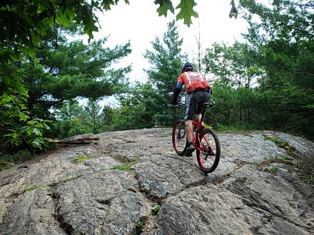
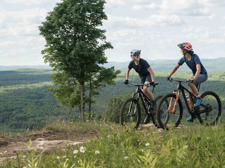
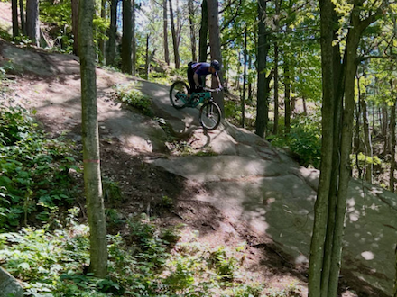
South March Highlands
Old school tight and technical riding with rock slabs, janky rock gardens, skinny bridges, and steep rock rolls. Mostly flat.
READ MORE

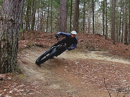
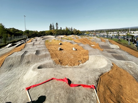
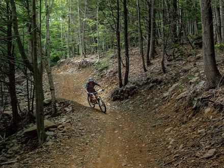
Domain Kanawe
Bike park with a pump track, multiple descent lines for various skill levels, berms, jumps, drops, and skills features, plus mechanically groomed fatbike riding.
READ MORE
Centre Vorlage
Centre Vorlage is an outdoor center focused on skiing and mountain biking. There’s a network of mountain bike trails in summer and an alpine ski and skimo during the winter.
READ MORE
Camp Fortune
Lift-assisted downhill and demanding technical trail riding with steep climbs and descents
READ MORE
Parc du Lac-Beauchamp
Beginner level multi-use double-track trails, and intermediate level single track trails, in intervals with short climbs and descents, old school cross country style with some rocks and roots in places.
READ MORE

Trails in the Ottawa/Outaouais area
The trails below were are other trails in the Ottawa/Outaouais area.
Wilderness Tours Bike Park
Wilderness Tours Bike Park is conveniently located at Wilderness Tours Resort in the Whitewater area of the Ottawa River. The trail network expands each year and is a mix of flowy trails as well as natural cross-country sections.
READ MORE
Vélo Mont Ste-Marie
Enduro and technical trail riding with lots of climbing and descending
READ MORE
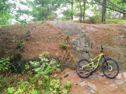
Carp Barrens
Flowy open rock barren riding with some rock rolls and drops and beautiful views of Canadian shield landscape.
READ MORE
Montebello
A mix of everything from wide gravel doubletrack trails for beginners to rocky technical singletrack for advanced riders